ハリケーン・イザベルが接近中
Hurricane Isabel Approaches
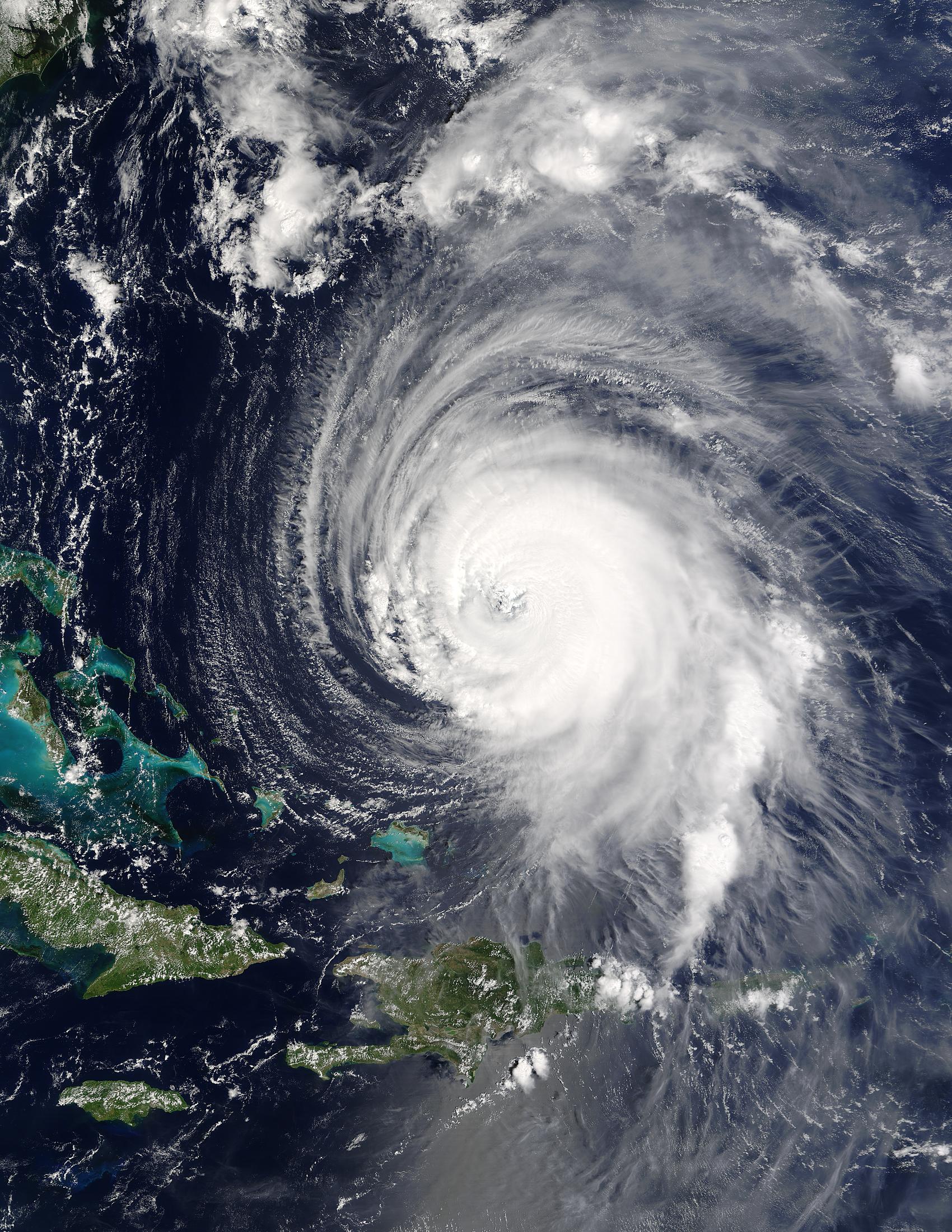
ハリケーン・イザベルはどこへ向かうのか? 現代で最も強力な暴風雨の一つが、地球上で最も人口の多い海岸の一つであるアメリカ合衆国東海岸に向かっているようだ。昨日バハマ諸島の東を通過したハリケーン・イザベルは、最も強力なハリケーンのカテゴリーであるカテゴリー5に迫る勢いだった。ハリケーンは巨大な渦巻く嵐で、雲のシステムは通常、州よりも大きい。熱帯低気圧は、地球の西半球ではハリケーン、東半球では台風と呼ばれ、暖かい蒸発した海水から莫大なエネルギーを得る。この水蒸気が冷えて凝結すると、空気が温められ、気圧が下がり、その結果、冷たい空気が流れ込む。風速は時速250キロメートルを超えることもあり、非常に危険になる。サイクロンについては、その形成方法や正確な進路など、まだ多くのことが分かっていない。
原文(English)
Where will Hurricane Isabel go? One of the stronger storm systems of modern times appears headed for one the more populated seaboards on planet Earth -- the east coast of the USA. Hurricane Isabel, pictured yesteday as it passed east of the Bahamas, has flirted with category 5 status, the most powerful hurricane category. Hurricanes are huge swirling storms with cloud systems typically larger than a state. Tropical cyclones, called hurricanes in Earth's Western Hemisphere and typhoons in the Eastern Hemisphere, get their immense energy from warm evaporated ocean water. As this water vapor cools and condenses, it heats the air, lowers pressure and hence causes cooler air to come swooshing in. Winds can reach over 250 kilometers per hour and become very dangerous. Much remains unknown about cyclones, including how they are formed and the exact path they will take.
\ この感動を宇宙仲間にシェア /
宇宙をXでシェア
© NASA / APOD