サスカチュワン州上空の乳房雲
Mammatus Clouds Over Saskatchewan
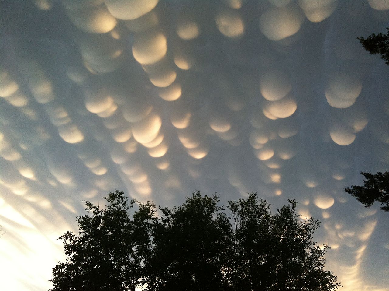
通常の雲底は平らです。これは、上昇して冷える湿った暖かい空気が特定の温度で水滴に凝結するためで、その温度は通常、非常に特定の高度に対応します。水滴が成長すると、不透明な雲が形成されます。しかし、特定の条件下では、大きな水滴や氷滴を含む雲の塊が発生し、蒸発して澄んだ空気中に落下することがあります。このような塊は、雷雨の近くの乱流の中で発生する可能性があります。その結果生じる乳房雲は、横から日光が当たると特に劇的に見えることがあります。これらの乳房雲は、昨年の夏にカナダのサスカチュワン州レジャイナ上空で撮影されました。
原文(English)
Normal cloud bottoms are flat. This is because moist warm air that rises and cools will condense into water droplets at a specific temperature, which usually corresponds to a very specific height. As water droplets grow, an opaque cloud forms. Under some conditions, however, cloud pockets can develop that contain large droplets of water or ice that fall into clear air as they evaporate. Such pockets may occur in turbulent air near a thunderstorm. Resulting mammatus clouds can appear especially dramatic if sunlit from the side. These mammatus clouds were photographed over Regina, Saskatchewan, Canada during the past summer.
\ この感動を宇宙仲間にシェア /
宇宙をXでシェア
© NASA / APOD