西の月、東の海
Western Moon, Eastern Sea
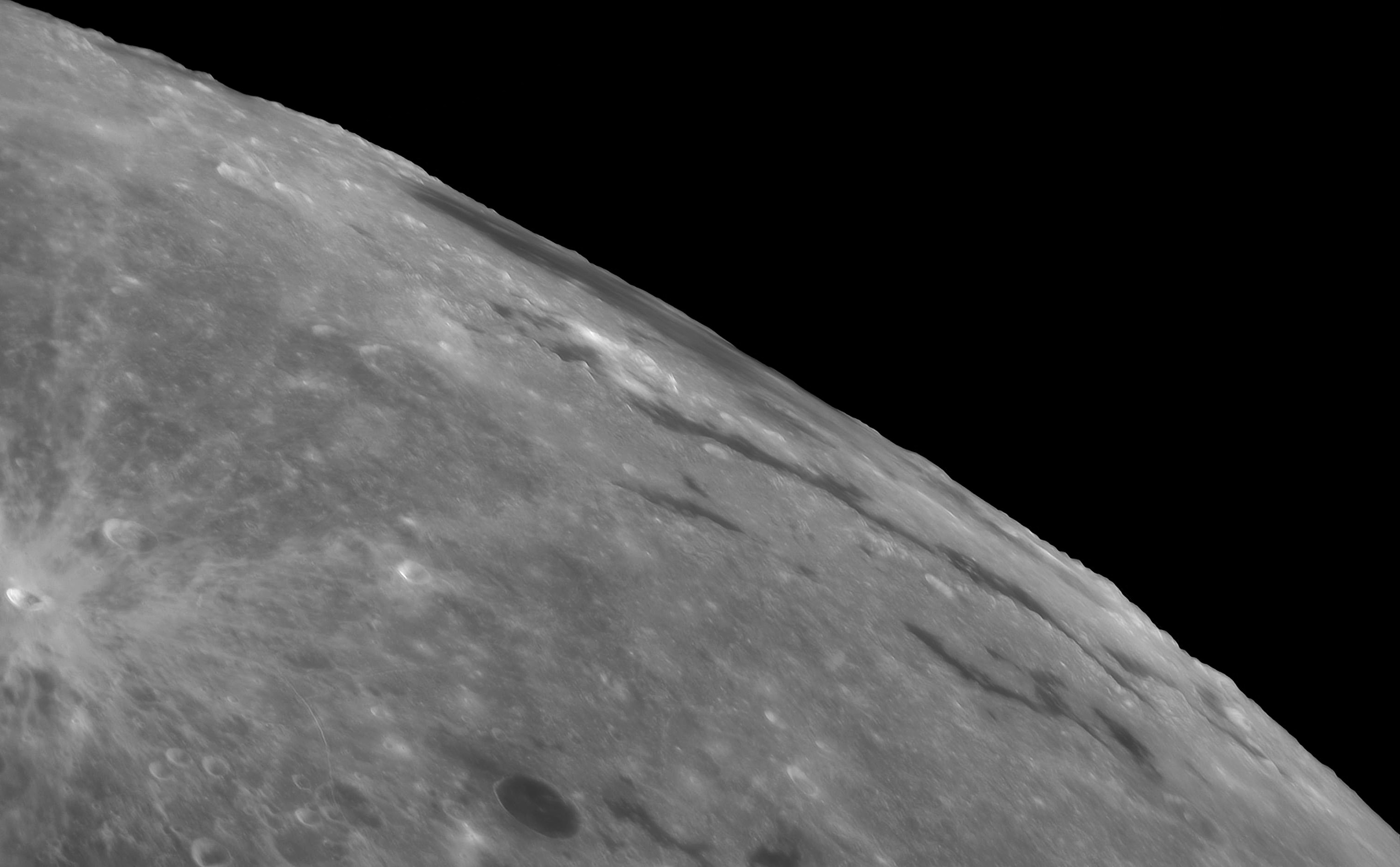
東の海(Mare Orientale)は、ラテン語で「東の海」を意味し、月面で最も印象的な大規模な地形の一つです。月の大きな衝突盆地の中で最も新しいもので、地球からの視点では非常に見えにくいです。しかし、月の表側の傾き、つまり秤動が好都合な時期に7月7日に撮影されたこの鮮明な望遠鏡画像では、東の海が右上に写っています。画像では、この大きな月の海は極端に短縮されて、月の西端に沿って広がっています。30億年以上前に小惑星の衝突によって形成され、直径が約1000キロメートルにも及ぶこの衝突盆地の同心円状の地形は、月の地殻のさざ波です。しかし、月周回軌道から撮影されたこの地域のより直接的な画像では、それらは少し見つけやすくなります。では、なぜ東の海は月の西端にあるのでしょうか?月面地形である東海は、1961年以前に命名された。1961年は、月面地図における東西の表記が逆転した年である。
原文(English)
The Mare Orientale, Latin for Eastern Sea, is one of the most striking large scale lunar features. The youngest of the large lunar impact basins it's very difficult to see from an earthbound perspective. Still, captured on July 7 during a period of favorable tilt, or libration of the lunar nearside, the Eastern Sea can be found at the upper right in this sharp telescopic view. In the image, the large lunar mare is extremely foreshortened and stretches along the Moon's western edge. Formed by the impact of an asteroid over 3 billion years ago and nearly 1000 kilometers across, the impact basin's concentric circular features are ripples in the lunar crust. But they are a little easier to spot in more direct images of the region taken from lunar orbit. So why is the Eastern Sea at the Moon's western edge? The Mare Orientale lunar feature was named before 1961. That's when the convention labeling east and west on lunar maps was reversed.
\ この感動を宇宙仲間にシェア /
宇宙をXでシェア
© The Mare Orientale / APOD